The Glaizette (B6)
Description
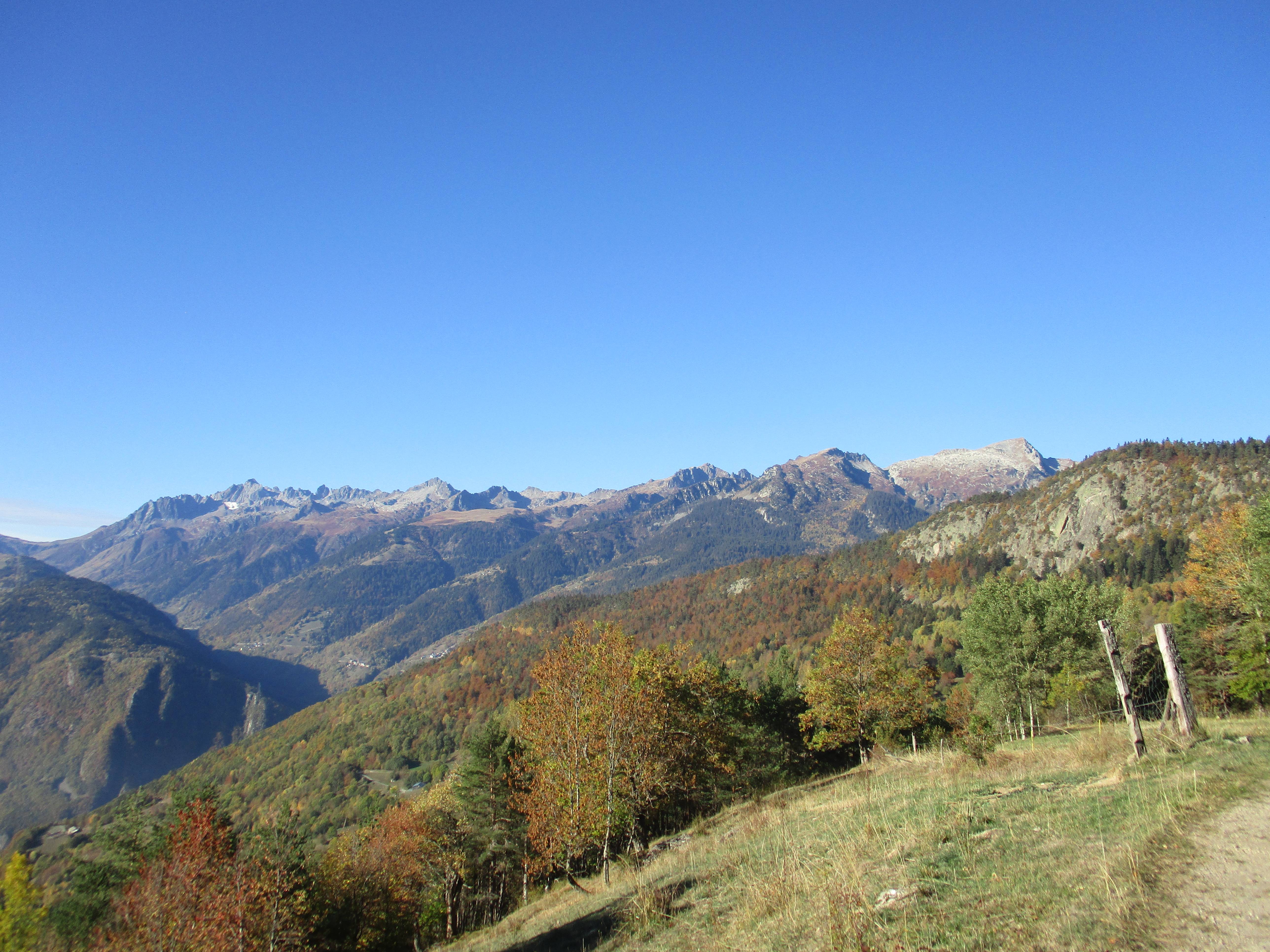
Follow the path up to the road which to the village of Grand Glaize (1038m). Here is a great place to fill up a water bottle and admire the view of the Lauzière mountain massif and its highest peak ‘Grand Pic’ (2832m).
The path then winds downhill through ‘Glaizette d’en bas’ (825m) and ‘Glaizette d’en Haut’ (900m). Cross the Glaize torrent before climbing up the steep hill to ‘Detchu’ (1175m). Re-join Molençon using the last downhill forest track.
- Departure : Hameaux de Fontaine ou Molençon, Nâves
- Arrival : Hameaux de Fontaine ou Molençon, Nâves
- Towns crossed : LA LECHERE
Altimetric profile
Recommandations
Not advised for beginners or people with physical conditions due to its length and elevation.
Recommended on hot and dry days.
Information desks
Immeuble les Eaux Claires, 73260 La Léchère-les-Bains
Access and parking
If you start from Molençon: As you arrive from Albertville on the N90, take exit 37 towards N.D. de Briançon/La Léchère/Doucy/Valmorel. Continue on the D990 for a kilometre before taking a left turn on ‘Rue de la Digarde’. As you’ll join ‘Rue St. Eusebe de Cors’, turn left. Take the mountain road until arriving at Molençon.
If you start from Fontaine: Take the same access route as if you were going to Molençon but keep going after the village to arrive a few minutes later in Fontaine.
Parking :
Accessibility
- Emergency number :
- 114
Report a problem or an error
If you have found an error on this page or if you have noticed any problems during your hike, please report them to us here:
