Filters
24 results

24 results practice: Walking hike
Walking hike
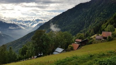
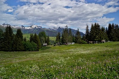
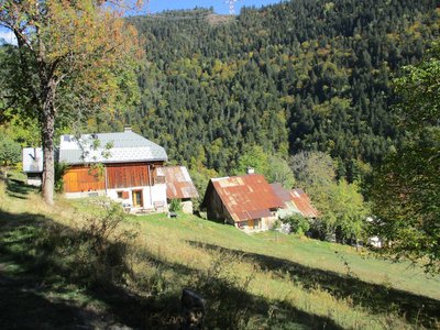
LES AVANCHERS-VALMOREL
L'Avancheraine (B19)
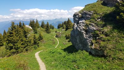
Flora
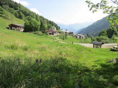
Pastoralism
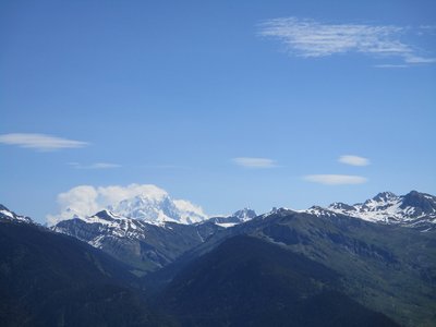
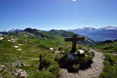
Viewpoint
- Difficult
- 4h30
- 11,7km
- +573m
Walking hike
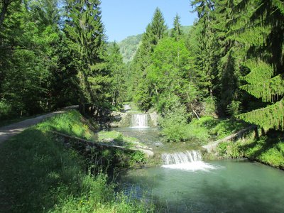
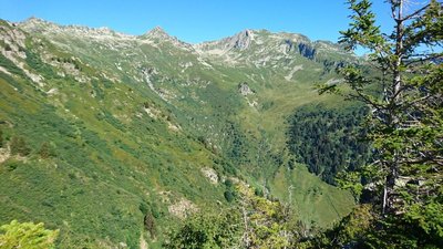
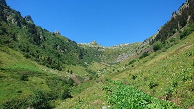
LA LECHERE
Loop of Arpettaz (B18)
Flora
Pastoralism
Viewpoint
- Easy
- 2h
- 7,3km
- +408m
Loading