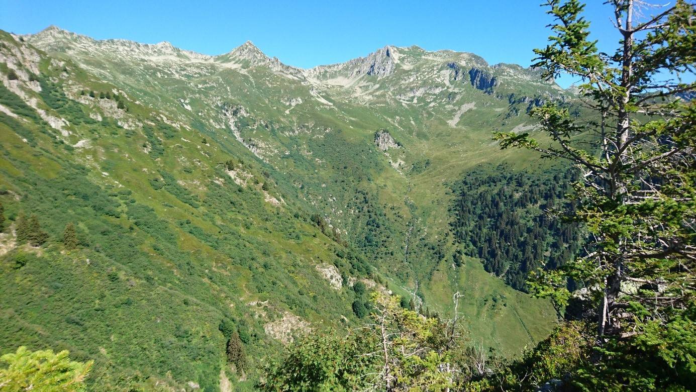
Loop of Arpettaz (B18)
Description
Departure is from the newly built car park of the Logis des Fées refuge (1830m).
At the start, you move at the upper limit of the "combat zone" where the forest ends and where the low grasslands begin, kingdom of black grouse and Tarine cows.
Follow a path back and forth to enjoy the fabulous scenery and a "breathtaking" view and who knows when you might come across chamois.
On your return from this escapade, take the pastoral trail that runs up to the Arpettaz lake at an altitude of 1945m. Leave the lake on the right and take the path which becomes steeper and leads to the Grand Plan, the highest point of the route (2110m). Dive into the valley of Bridan towards the Branley lake at point 2032. Believing itself to be a river, this high altitude lake sometimes meanders in the hot season, surely out of pride or anticipation of its destiny!
Here the Rognolet dominates with its 2659 m of altitude and the ski resort of Valmorel is a real eye-catcher.
Go down, then cross one of the tributaries of the Bridan stream, leave the Queigey alpine pasture chalet on the right and at the lowest point of this route at 1760 m, go up on the southern slope of the valley of Bridan to the Logis des Fées refuge.
- Departure : Shelter of Logis des Fées
- Arrival : Shelter of Logis des Fées
- Towns crossed : LA LECHERE
Altimetric profile
Access and parking
From Albertville, RN90 (exit 36), D990 (through Feissons-sur-Isère) then left on D66 (towards Pussy/Bonneval/Celliers). Turn right on D213 and continue on the mountain road until Celliers dessus where, at the end of the hamlet, turn right at the sign 'Logis des fées'.
From Moûtiers, RN90 (exit 36), turn left onto D990 then left again onto D66 (towards Pussy/Bonneval/Celliers). Turn right on D213 and continue on the mountain road until you reach Celliers dessus where, at the end of the hamlet, turn right at the sign 'Logis des fées'.
Parking :
Accessibility
- Emergency number :
- 114
Report a problem or an error
If you have found an error on this page or if you have noticed any problems during your hike, please report them to us here:
