The Douceraine (B21)
Description
Begin the hike at Doucy ski station and descend a small path which opens up into a prairie, towards Doucy village. Take the paved road through the hamlet and walk along the Saint André baroque church, classified historic monument.
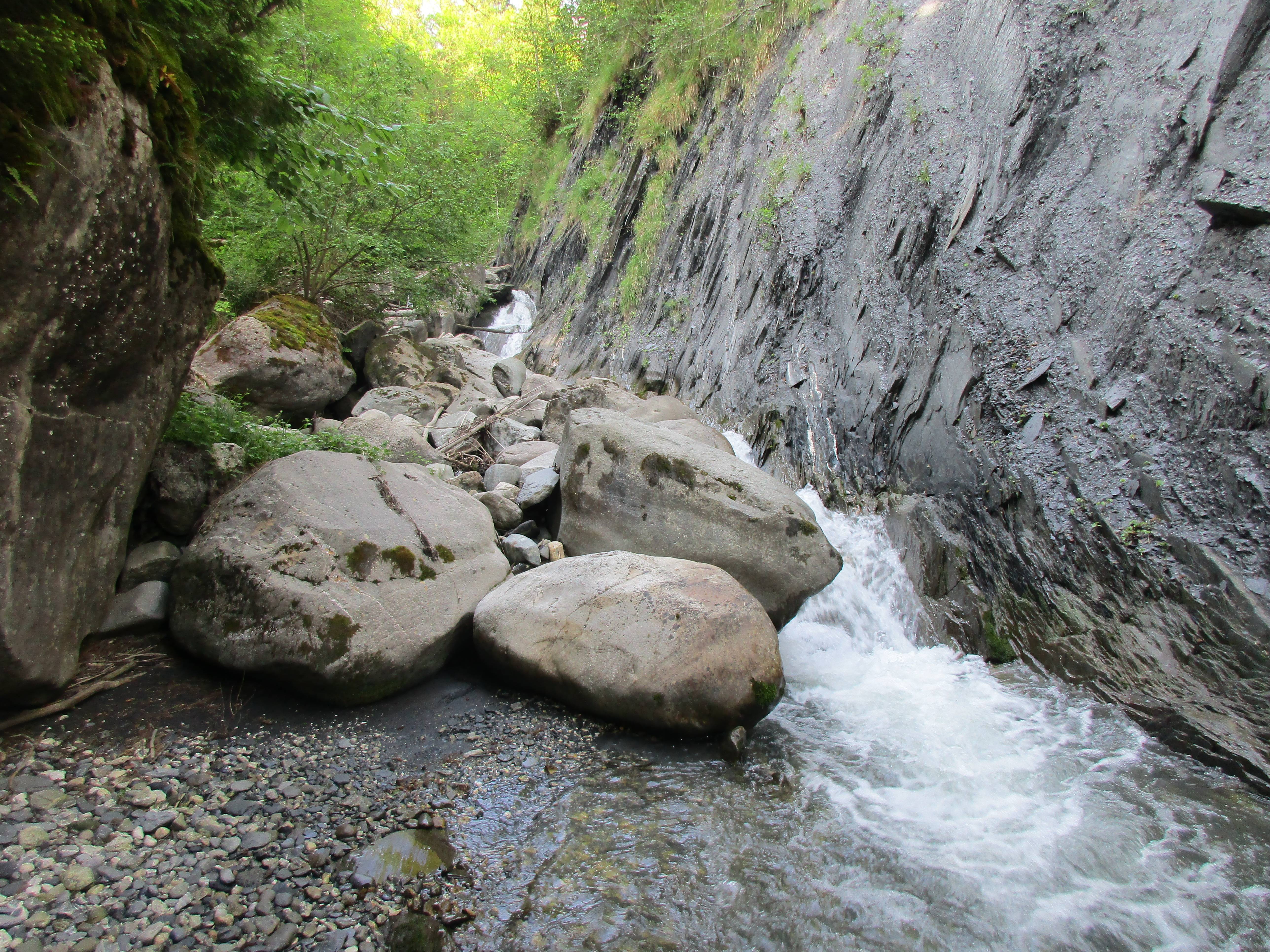
The hike then leads to the Morel forest before leading to the impressive imbedded torrent which carries the same name. Take the bridge which crosses the river and hike up the other side of the small valley to discover the recently renovated Old Watermill.
Then, take another bridge over the Morel to walk up a farmer’s track which leads to the end of the forest and to Villaret. Take the road through this typical Savoyard village until arriving at a large path through lovely prairies. From then on, it’s a straight road until arriving back to Doucy ski station.
- Departure : Doucy ski station, tourist office
- Arrival : Doucy ski station, tourist office
- Towns crossed : LA LECHERE and SAINT-OYEN
Altimetric profile
Recommandations
Not recommended on very rainy, or stormy, days.
Information desks
Access and parking
From Albertville, RN90 (exit 37), RD97 (through La Léchère), then RD94 until Doucy ski Station.
From Moûtiers, RN90 (exit 38), RD92 (through Aigueblanche), then RD94 until Doucy ski Station.
Parking :
Accessibility
- Emergency number :
- 114
More information
Report a problem or an error
If you have found an error on this page or if you have noticed any problems during your hike, please report them to us here:
