Loop of Quermoz (B9)
1 point of interest

Vue depuis le refuge du Nant du Beurre - Maison de la Montagne de Naves  Refuge
Nant du Beurre Refuge
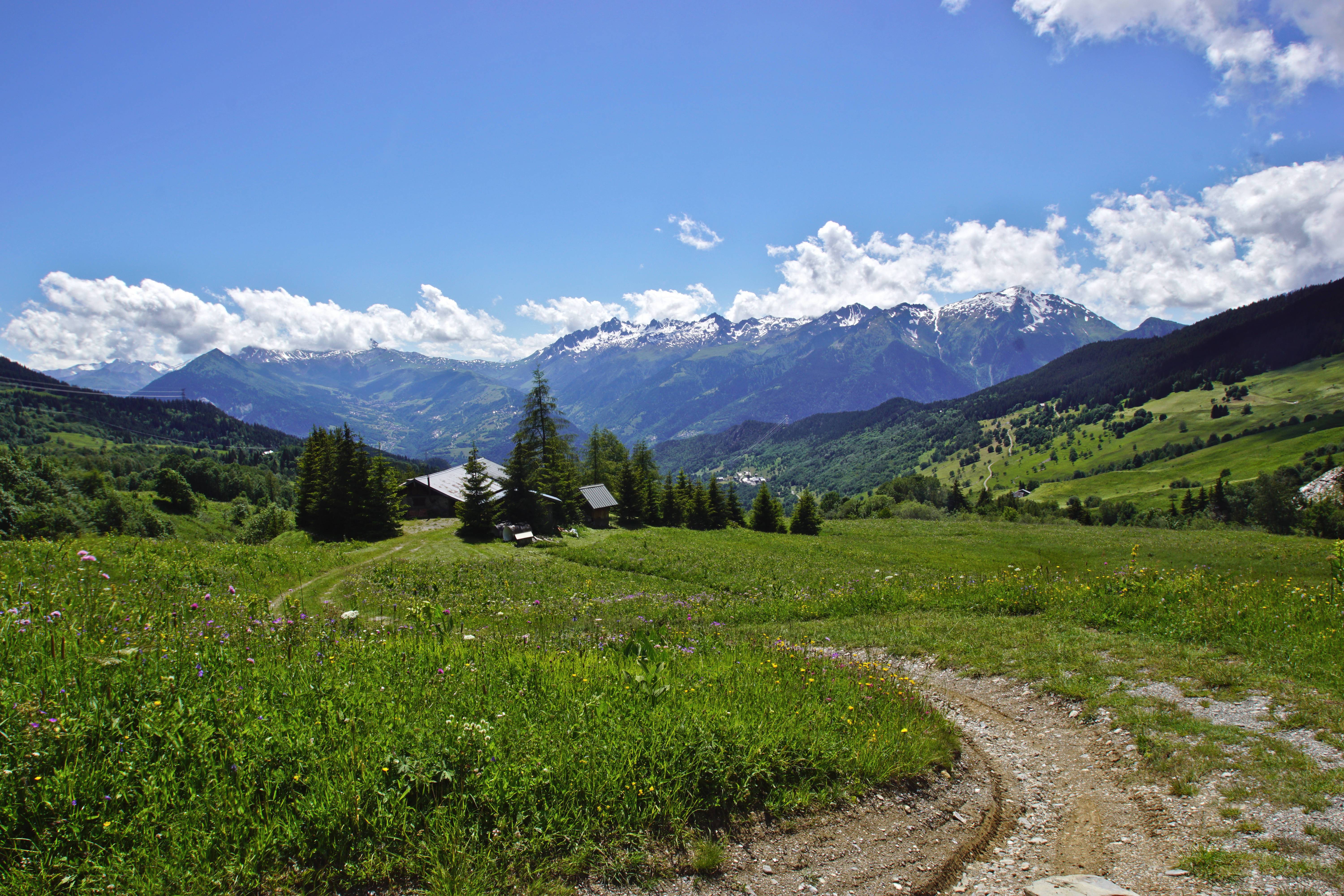
This refuge is staffed and serves refreshments, so treat yourself to a break on arrival! The stunning view from outside takes in La Lauzière, Le Cheval Noir and the Vanoise peaks with, in the background, La Meige and Les Ecrins mountain range. Marmots are commonly sighted around here and, if you're lucky, you might even spot a Golden Eagle!
Description
Starting from the traditional high altitude village, Grand Nâves (1 320 m), the hike goes up through the forest, through some clearings, until arriving at la Raverette (1 700m). Follow the alpine pasture road until the Châtelard Mountain (1 780 m). The high Nâves Valley then opens up. Keep going uphill until the Vieille Cave (Old Cellar – 1 998 m), via the Beauregard Plateau. During summer, the Tarine cows can be seen grazing. Take a right hand turn until the Nant du Beurre refuge (2 079 m) which has a view over the Cheval Noir (Black Horse), Valmorel, the Madeleine Col and the Lauzière Massif. Food and beds are available.
Keep on until reaching the Vâ Col (2 222 m) and then the Quermoz (2 297 m), highest point of the hike. From this peak, the northern Alps with the Mont-Blanc, the Beaufortain and the Vanoise are visible.
On the way down, the path goes down a flowery valley, around the Bozon lake (1 990 m) and down a forest a path. Reach the Terreaux du Haut (1 720 m) and then the Tovet (1 554 m), starting gate of the Nordic skiing trails. A final downhill slope returns to the Grand Nâves village.
- Departure : Grand Nâves
- Arrival : Grand Nâves
- Towns crossed : LA LECHERE, AIME-LA-PLAGNE, AIGUEBLANCHE, and HAUTECOUR
Altimetric profile
Recommandations
Unadvised for beginners because of its length and steep inclines.
Many sections are through alpine pastures and exposed paths: necessary sun protection is strongly advised.
Information desks
Access and parking
From Albertville, follow N90, take exit 37 towards La Léchère and continue on D990. At the Carbone Savoie factory take a left on rue de la Digarde. Go through Petit Cœur and continue on D93 to Nâves.
From Moutiers, follow N90 and take exit 37 towards Petit Cœur. Go through the hamlet and continue on D93 to Nâves.
Accessibility
- Emergency number :
- 114
Report a problem or an error
If you have found an error on this page or if you have noticed any problems during your hike, please report them to us here:
