Rando Valmorel
EN
FR
EN
Search
Menu
Filters
Practice
Practice
Walking hike
Trail
Themes
Themes
Fauna
Flora
Viewpoint
Architecture
Pastoralism
Lake and glacier
Summit
Refuge
History
Localization
Localization
City
District
Arves
Beaufortain
Belledonne
Lauzière
Maurienne
Mont-cenis
Parc national de la Vanoise
Tarentaise
Thabor
Vanoise
Structure
PNV
APTV
Clear all
44 results
44 results found
Filter
Search
Search
Display Map
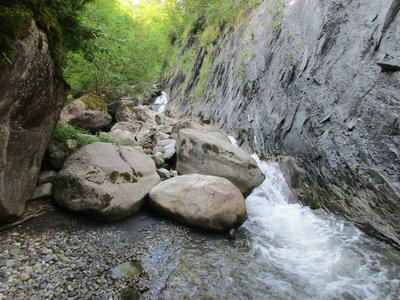
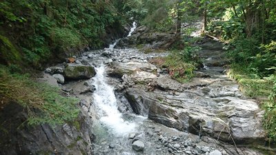
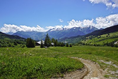
Le long du Morel - CCVA
Walking hike
LA LECHERE
The Douceraine (B21)
Architecture
Pastoralism
Viewpoint
Easy
4h
6,5km
+300m
Walking hike
LES AVANCHERS-VALMOREL
The Fuly (B24)
Flora
Pastoralism
Viewpoint
Very easy
0h45
2,2km
+119m
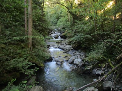
Walking hike
LA LECHERE
The Glaizette (B6)
Architecture
Flora
Viewpoint
Difficult
5h
14,4km
+945m
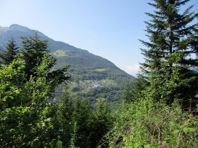
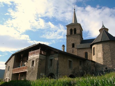
Vue sur Bonneval l'Eglise depuis le sentier - ccva
Walking hike
LA LECHERE
The Great Forest (B22)
Flora
Viewpoint
Easy
3h
6,8km
+377m
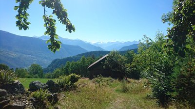
ccva
Walking hike
LA LECHERE
The Puceronne (B4)
Very easy
1h
2,5km
+134m
Walking hike
LA LECHERE
The footbridges of the Eau Rousse (B20)
Easy
3h30
5,4km
+589m
Walking hike
AIGUEBLANCHE
The hillsides of Aigueblanche (B12)
Architecture
Flora
Viewpoint
Easy
3h
6,3km
+395m
Trail
BONNEVAL-TARENTAISE
Trail of Bonneval-Tarentaise
Pastoralism
Viewpoint
Refuge
Challenging
2h30
15,8km
+1202m
ccva
Trail
LA LECHERE
Trail of Cirque de Nâves
Flora
Viewpoint
Summit
Challenging
2h
18km
+1262m
ccva
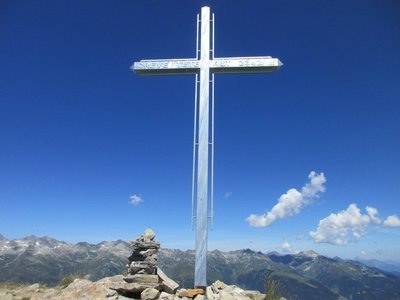
Trail
LES AVANCHERS-VALMOREL
Trail of Crève-Tête
Flora
Viewpoint
Summit
Difficult
1h48
17,9km
+1343m
Previous page
Next page
Loading